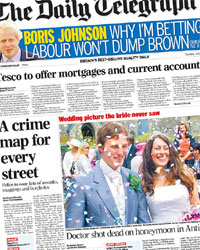
London’s Metropolitan Police has launched the first test of its planned ‘crime mapping’ application, and at first glance, it’s really quite nice. There’s data from borough to ‘sub-ward’ (a few streets), although at the moment it’s only carrying aggregated totals of ‘burglary, robbery and vehicle crime’.
The ‘high/average/low’ colour coding makes it easy to take in; and navigation is pretty good. The selection of statistical geography is inferred from the zoom level of the map – a method which has its ups and downs. But with a postcode search, it’s easy to go directly to ‘your patch’. (I’m a bit dubious about the accuracy of the boundaries, though.) Throw in some nice little Javascript-y UI touches, and you’ve got an excellent start – with the promise of ‘further enhancements … prior to the formal launch of the service in September.’
But what’s most striking about this? It’s done on Google Maps. Here’s a extra-high-profile government mapping application, and they’ve made a conscious – and entirely predictable – decision not to build it using the tool provided by the government’s own mapping agency.
It’s not a million miles away from the vision put forward by the Power of Information taskforce; Tom Loosemore calls it ‘a decent first effort’, but laments the ‘lack of proper profile for your local coppers’.
 Crime mapping is front-page news today (in the